
Map
Park Lake on the land
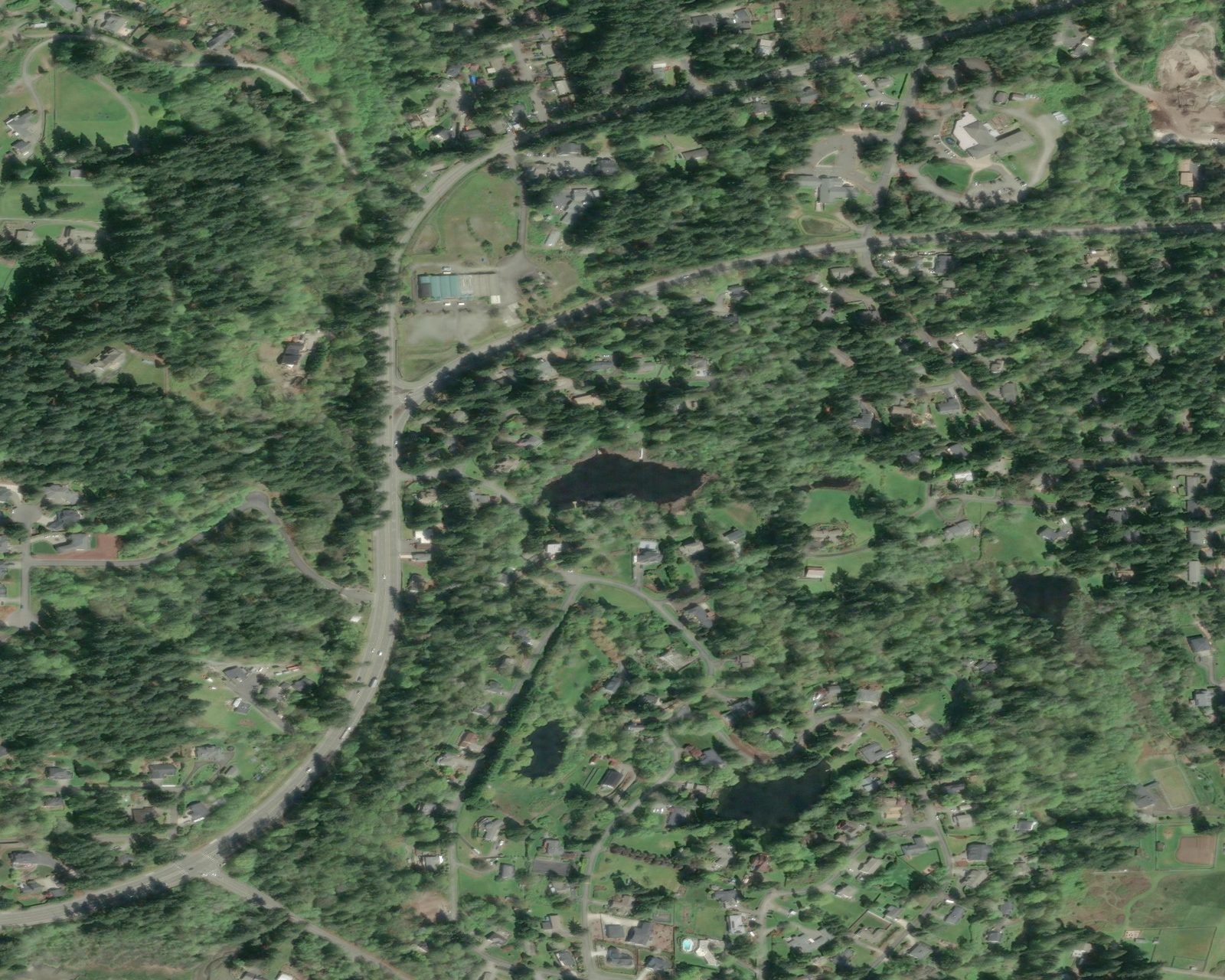
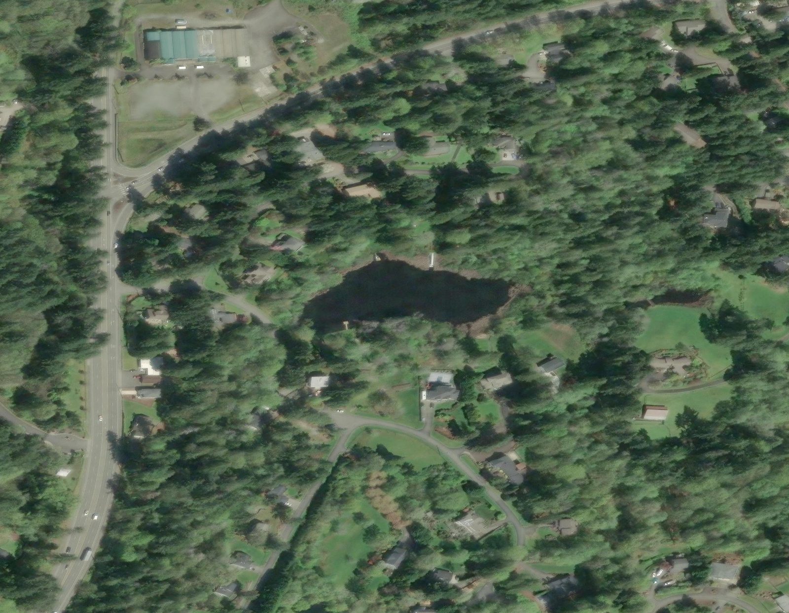
A private wetlands pond in Wollochet Heights, Gig Harbor, just inland of Wollochet Bay. The aerial is current satellite imagery of the actual lake.
Aerial of the pond
North is up. The irregular shoreline and wooded peninsula are the signature of Park Lake. Houses and lots of Wollochet Heights wrap the water.
Imagery: Esri World Imagery · 47.30532°N, 122.60789°W
Park Lake
Private wetlands pond, Wollochet Heights
Setting
Forested residential lots, cedar and alder
Tenure
13 co-owners, joint tenants
Neighborhood context
Wider aerial, still looking north. Park Lake is the small, dark basin in the wooded lots. Drainage leaves the northwest shore by culvert into Garr Creek and continues toward Wollochet Bay to the south and west. Park Lane NW is the street that most directly names the pond.
Streets and parcels
OpenStreetMap for street names; Pierce County PublicGIS for parcels, aerials, and critical-area overlays. Neither replaces a recorded survey.